Congestion Management
Travel Demand Model
Travel demand model forecast provides opportunities for long-term and short-term traffic and air quality impact analysis. These forecasts are at the foundation for various transportation planning and operational studies.
Welcome
SRPEDD Traffic Demand Models
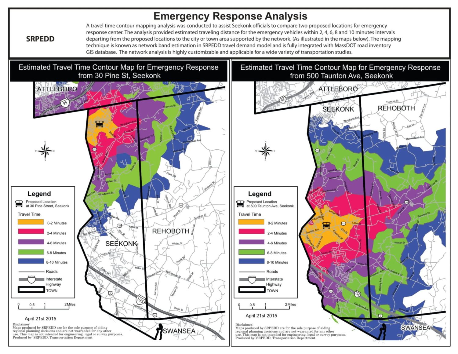
Travel demand model could be seen as a mathematically calibrated tool that uses a set of socio-economic, and roadway network data to project changes in future traffic volume and travel time. It has been widely applied in long range planning and site-specific project evaluations.
SRPEDD designs, calibrates, develops, and updates in-house travel demand model in TransCAD. It covers 782 TAZs (Traffic Analysis Zones) and an over 2000-mile road network throughout 27 communities. The model incorporates 441 internal zones within the SRPEDD region and 58 external zones, including zones abutting the State of Rhode Island and other numerous neighboring communities.
The SRPEDD Travel Demand Model follows three general steps: trip generation (number of trips generated from TAZs); trip distribution (origin and destination for all trips) and trip assignment (how traffic is assigned to the road network). Currently, transit modeling analysis is provided upon a case by case basis.
SRPEDD provides travel demand modeling data assistance within the SRPEDD region including, but not limited to public and private development projects that fulfill certain MEPA application requirements. The data request form below is required if you desire data assistance.
Please note that the most specific federal agency requirements for travel demand forecasting are found in the Transportation Conformity Rule, promulgated by the Environmental Protection Agency (EPA) under the Clean Air Act (CAA).


